


Explore the water temperature at 1,694 beaches and islands, month by month, on cards or a world map, and find the warmest sea for your trip.
Find where the sea is warm in your month: every beach and island has its water temperature by month, on cards or a world map, with a place to stay nearby.
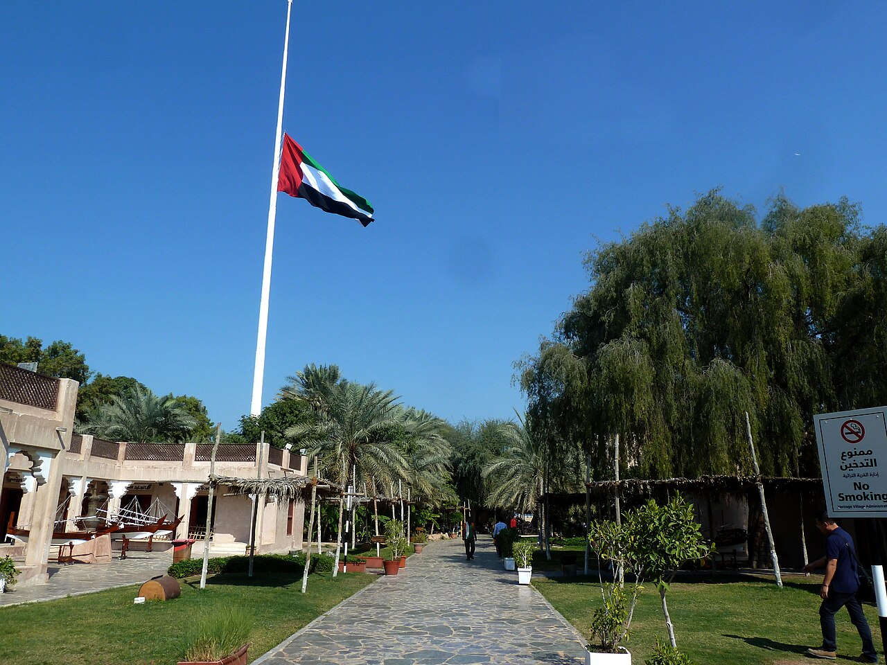
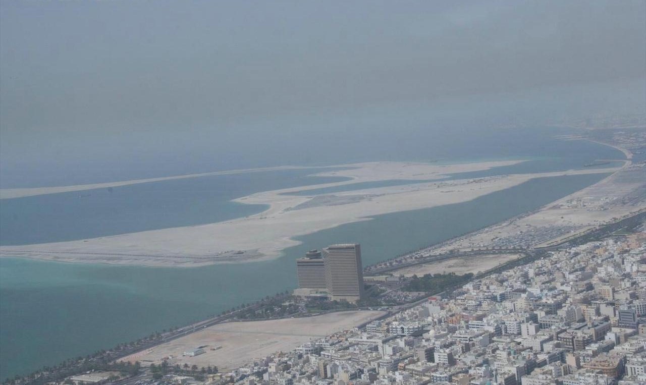
 Förenade Arabemiraten
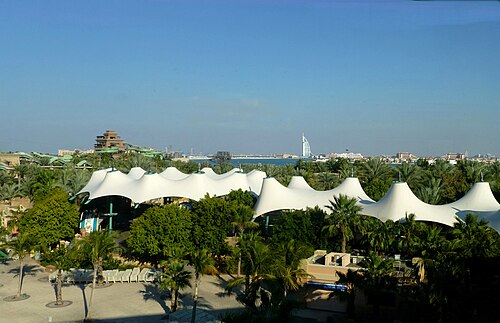
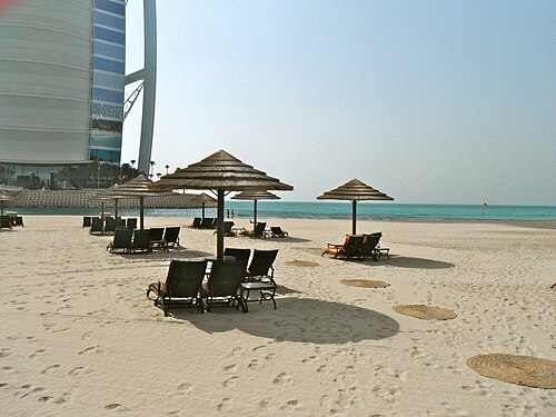
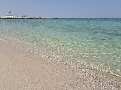
Al Sahil Beach
88°F (31°C) water · October
Find warm water
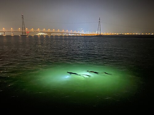




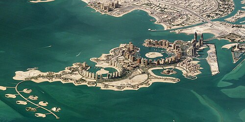
 Qatar
Qatar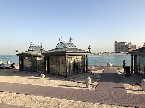
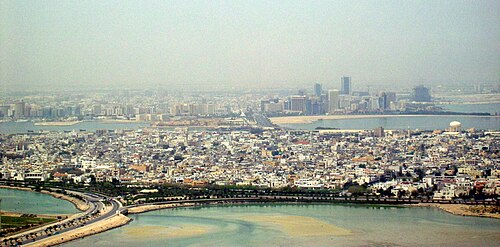
 Bahrain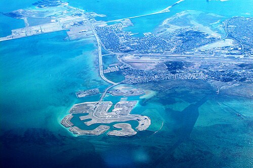

 Mexiko

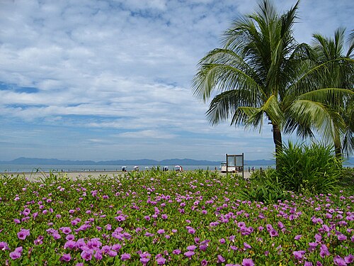
 Bangladesh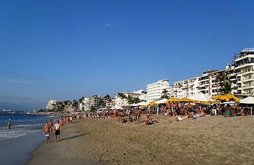

 Oman
Oman
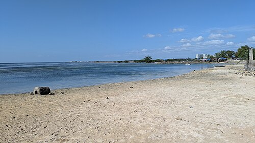
 Filippinerna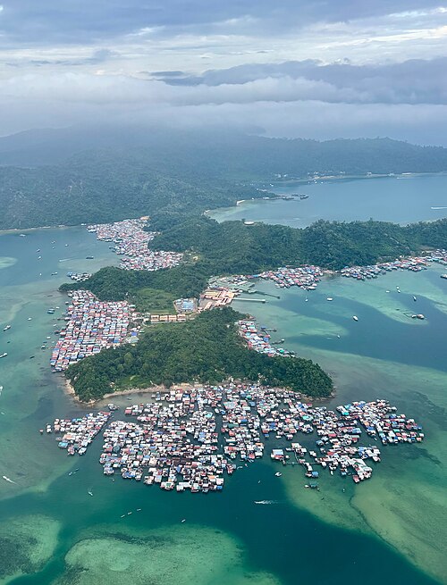
 Malaysia
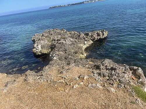
 Jamaica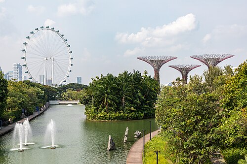
 Singapore
 Thailand
Each beach's water is NOAA OISST's average sea surface temperature for that month over 1991 to 2020, at the nearest open-sea cell of its 0.25° grid (about 28 km), within 60 km. The scores, photos, weather and booking are the beach index's.
Sea temperature: NOAA OISST v2.1 monthly long-term mean, 1991 to 2020 (NOAA PSL, public domain). Beaches, scores, photos and weather: the beach index (OpenStreetMap, Wikidata, Wikimedia Commons, NASA POWER).
Embed this tool on your site
Paste the code into any page: WordPress, Webflow, Squarespace, Ghost or plain HTML. It's free with the credit under it, which links back to navid.me.
A sea temperature map shows how warm the water is at the beach, month by month. This one covers 1,694 beaches and islands, from 30 years of NOAA's ocean data.
In this guide, I'll show you:
- What a sea temperature map is, and how this one works
- The warmest beaches in December, and the warmest sea in every month
- Where the sea stays warm all year
- How the water temperature is measured
Pick your month, and every beach re-sorts by its water, on cards or a world map.
 TL;DR
TL;DRKey takeaways
What is a sea temperature map?
A sea temperature map shows the water temperature along the coast for a chosen month.
This one marks 1,403 beaches and 291 islands from my beach index, each colored from cool blue to warm red by its water that month.
It's built for planning: pick the month you'd travel, and see where the sea is warm enough to swim.
The warmest beaches in December
Here are the beaches and islands with the warmest water in December, two per country at most:
- Valu Beach – Timor-Leste, 86°F (30°C)
- Penang Island – Malaysia, 84°F (29°C)
- Komodo Island – Indonesia, 84°F (29°C)
- Monkey Beach – Malaysia, 84°F (29°C)
- Padar Besar Island – Indonesia, 84°F (29°C)
- Upolu – Samoa, 84°F (29°C)
- Babeldaob – Palau, 84°F (29°C)
- Playa Blanca – Colombia, 84°F (29°C)
- Singapore – Singapore, 84°F (29°C)
- Sentosa – Singapore, 84°F (29°C)
Turn on 81°F+ in the finder to see only the warmest water in your month.
The warmest sea in every month
The warmest water moves around the world through the year:
- Warmest beaches
- Valu Beach (Timor-Leste), Upolu (Samoa) and Penang Island (Malaysia)
- Water
- 85°F (30°C)
- Warmest beaches
- Penang Island (Malaysia), Playa Pará (Costa Rica) and Valu Beach (Timor-Leste)
- Water
- 85°F (29°C)
- Warmest beaches
- Penang Island (Malaysia), Playa Pará (Costa Rica) and Pak Meng beach (Thailand)
- Water
- 86°F (30°C)
- Warmest beaches
- Pak Meng beach (Thailand), Langkawi (Malaysia) and Phú Quốc (Vietnam)
- Water
- 87°F (30°C)
- Warmest beaches
- Rattanakosin Island (Thailand), Langkawi (Malaysia) and Phú Quốc (Vietnam)
- Water
- 87°F (31°C)
- Warmest beaches
- Penang Island (Malaysia), The Pearl Island (Qatar) and Muharraq Island (Bahrain)
- Water
- 87°F (30°C)
- Warmest beaches
- Merdeka Beach (Malaysia), Playa Principal (Mexico) and Pak Meng beach (Thailand)
- Water
- 87°F (30°C)
- Warmest beaches
- Qurum Beach (Oman), Playa Chacala (Mexico) and Merdeka Beach (Malaysia)
- Water
- 87°F (30°C)
- Warmest beaches
- Qurum Beach (Oman), Playa Chacala (Mexico) and Gaya Island (Malaysia)
- Water
- 86°F (30°C)
- Warmest beaches
- Dubai Islands (United Arab Emirates), The Pearl Island (Qatar) and Muharraq Island (Bahrain)
- Water
- 88°F (31°C)
- Warmest beaches
- Valu Beach (Timor-Leste), Babeldaob (Palau) and Puteri Beach (Malaysia)
- Water
- 85°F (30°C)
- Warmest beaches
- Valu Beach (Timor-Leste), Penang Island (Malaysia) and Komodo Island (Indonesia)
- Water
- 86°F (30°C)
Water above 88°F (31°C) is left out of these lists, as it feels more like a bath than a swim.
Where the sea stays warm all year
These beaches and islands never drop below 79°F (26°C) in any month:
- Penang Island – Malaysia, 84°F (29°C) to 87°F (30°C)
- Monkey Beach – Malaysia, 84°F (29°C) to 87°F (30°C)
- Kerachut Beach – Malaysia, 84°F (29°C) to 87°F (30°C)
- Teluk Bahang – Malaysia, 84°F (29°C) to 87°F (30°C)
- Batu Feringgi Beach – Malaysia, 84°F (29°C) to 87°F (30°C)
- Merdeka Beach – Malaysia, 84°F (29°C) to 87°F (30°C)
- Bersih Beach – Malaysia, 84°F (29°C) to 87°F (30°C)
- Pantai Tanjung Bungah – Malaysia, 84°F (29°C) to 87°F (30°C)
- Pak Meng beach – Thailand, 83°F (29°C) to 87°F (30°C)
- Koh Kradan Beach – Thailand, 83°F (29°C) to 87°F (30°C)
They're mostly close to the equator, where the sea barely changes through the year.
How the water temperature is measured
Every figure comes from NOAA's OISST, a daily map of the sea's surface temperature from satellites, ships and buoys.
I use its 30-year average for each month, from 1991 to 2020, at the stretch of open sea nearest each beach.
That's the water a few kilometers out, so a shallow bay or lagoon can run a few degrees warmer in summer.
Who is the sea temperature map for?
It's for anyone planning a trip around the water:
- Swimmers who want warm water without a wetsuit
- Digital nomads choosing a beach base for a few months
- Divers and snorkelers who want to know what suit to pack
- Families looking for the warmest sea in the school holidays
If you also want waves, the surf spot finder has the swell by month too.
More tools for working from anywhere
These tools use the same places, each for a different question:
- Beach index – beaches and islands scored for living and working
- Surf spot finder – surf spots with their waves and water by month
- Climate finder – the weather in any place, any month
- Digital nomad locations – every place, with its weather, internet and safety
Every beach links to its nearest work base's guide, with the visa, tax and money tools for its country.
FAQs about sea temperature
Questions about the water temperature? Here's what to know.
It's a map of how warm the sea is at the coast in a chosen month.
This one covers 1,694 beaches and islands, from NOAA's 1991 to 2020 averages.
Of these beaches, Valu Beach in Timor-Leste, Penang Island in Malaysia and Komodo Island in Indonesia have some of the warmest water in December.
All three sit around 84°F (29°C) or warmer.
Most surfers go without a wetsuit from 75°F (24°C), and the water feels warm from about 79°F (26°C).
Turn on the 75°F+ or 81°F+ filter to see only those beaches.
264 of these beaches and islands with a photo stay at 79°F (26°C) or warmer in every month.
Most are close to the equator, in Southeast Asia, the Indian Ocean and the Pacific.
The sea warms more slowly than the air, so it's warmest in late summer and early autumn.
In the northern hemisphere that's August and September, and in the southern, February and March.
Each figure is NOAA's 30-year average for that month at the nearest stretch of open sea.
A shallow bay can be a few degrees warmer, and a single year can run warmer or cooler than the average.
I did. I'm Navid Moazzez, and the sea temperature map is one of my free tools on navid.me.
Read about me, or see my creator profile.
Navid Moazzez
AI business strategist & AI OS builder
Navid Moazzez helps creators and founders master AI and build their own AI Operating System (AI OS) to automate their business and life.
Navid.me is reader-supported. When you buy through links on this site, I may earn an affiliate commission. Learn more.
More free tools


 X
X Bluesky
 LinkedIn
 Threads

 Mastodon
 Instagram
 TikTok
Related MCP servers & CLIs


 Substack


 Apple Podcasts
 Free AI newsletter
The most actionable AI newsletter for founders
Every week, get proven AI strategies, curated tools, and step-by-step systems to grow your audience, create better content, and build a profitable creator business.
No fluff, no filler, no BS. Just five minutes each week that might level up your online business and life.
P.S. Sign up now to get free access to my ultimate AI tools guide for creators.